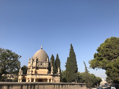
Cemetery nearby Cemetery
Malta
Cemetery nearby Cemetery
Cemetery
Qormi, Malta
contacts phone
:
+356
Latitude:
35.8824122
, Longitude:
14.4744227
larger map & directions
read more
nearest Cemetery
28 m
Qormi Cemetry
Qormi
Cemetery
read more
1.999 km
Turkish Cemetery
Marsa
Cemetery
read more
2.023 km
Turkish Military Cemetery
Marsa
Cemetery
read more
2.107 km
Pieta Military Cemetery
Triq Id - Duluri, Tal-Pietà
Cemetery
read more
2.239 km
Ta' Braxia Cemetery
Il-Ħamrun
Cemetery
read more
2.333 km
New Jewish cemetery Braxia
Il-Ħamrun
Cemetery
read more
2.588 km
Balzan Cemetery
Triq il-Wied Hal-Balzan, Ħal Balzan
Cemetery
read more
2.707 km
Attard Cemetery
Triq Valletta, Ħ'Attard
Cemetery
read more
2.764 km
Addolorata Cemetry
134 Vjal Santa Lucija, Raħal Ġdid
Cemetery
read more
2.784 km
Addolorata Cementery
Paola
Cemetery
read more
2.787 km
Cimiterju Santa Maria Addolorata
Paola
Cemetery
read more
3.062 km
Żebbuġ Cemetery
Ħaż-Żebbuġ
Cemetery
read more
3.067 km
Baba ganoush
Manoel Island Yacht Marina
Cemetery
Point of interest
Establishment
read more
3.103 km
Malta Islamic Cemetery
Corradino Road, Paola
Cemetery
read more
3.36 km
Lija Cemetery
Triq Il-Mosta, Ħal Lija
Cemetery
read more
3.384 km
Lija Cemetery
Ħal Lija
Cemetery
read more
3.402 km
Lija Cemetery
Lija
Cemetery
Point of interest
Establishment
read more
3.439 km
Baba ganoush
Marsamxett Harbour
Cemetery
Point of interest
Establishment
read more
3.59 km
Luqa Cemetery
Ħal Luqa
Cemetery
read more
3.678 km
All Souls Cemetery
Tarxien
Cemetery
read more
3.697 km
Cmentarz Katolicki
Tarxien
Cemetery
read more
4.544 km
Mqabba Cemetery
L-Imqabba
Cemetery
read more
4.902 km
Old Jewish cemetery
Il-Kalkara
Cemetery
read more
4.97 km
Old Cemetery
Kalkara
Cemetery
read more
4.988 km
Siggiewi Cemetery
Triq Blat il-Qamar, Is-Siġġiewi
Cemetery
read more
📑
all categories
Accounting
Airport
Amusement park
Aquarium
Art gallery
Atm
Bakery
Bank
Bar
Beauty salon
Bicycle store
Book store
Bowling alley
Bus station
Cafe
Campground
Car dealer
Car rental
Car repair
Car wash
Casino
Cemetery
Church
City hall
Clothing store
Colloquial area
Convenience store
Country
Courthouse
Dentist
Department store
Doctor
Electrician
Electronics store
Embassy
Establishment
Finance
Fire station
Florist
Food
Funeral home
Furniture store
Gas station
General contractor
Grocery or supermarket
Gym
Hair care
Hardware store
Health
Home goods store
Hospital
Insurance agency
Jewelry store
Laundry
Lawyer
Library
Liquor store
Local government office
Locality
Locksmith
Lodging
Meal delivery
Meal takeaway
Mosque
Movie rental
Movie theater
Moving company
Museum
Natural feature
Neighborhood
Night club
Painter
Park
Parking
Pet store
Pharmacy
Physiotherapist
Place of worship
Plumber
Point of interest
Police
Post office
Premise
Real estate agency
Restaurant
Route
Rv park, camping
School
Shoe store
Shopping mall
Spa
Stadium
Storage
Store
Subpremise
Supermarket
Synagogue
Taxi stand
Transit station
Travel agency
University
Veterinary care
Zoo
sublocality level 1
↑