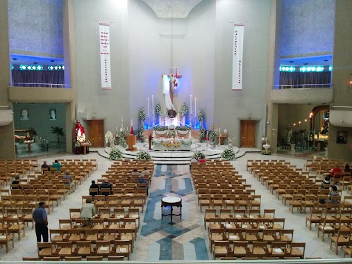
Church nearby Il-Vitorja
Malta
Church nearby Il-Vitorja
Il-Vitorja
Vitorja, Birkirkara, MT Malta
contacts phone
:
+356
Latitude:
35.9023189
, Longitude:
14.4640183
larger map & directions
read more
nearest Church
153 m
Madonna tal-Ħerba
Nazju Falzon, Birkirkara
Church
read more
181 m
Our Lady of Ruins Sanctuary
Triq tal-Herba, Birkirkara
Church
read more
301 m
Parroċċa Sant'Elena
51 Is-Santwarju, Birkirkara
Church
read more
376 m
St. Anthony
Triq M. Pulis, Birkirkara
Church
read more
545 m
Saint Joseph The Worker Parish
Triq Bwieraq, Birkirkara
Church
read more
585 m
St Francis of Assisi Church
Triq L-Imsida, Birkirkara
Church
read more
592 m
St. Anthony Church
Triq L-Imsida, Birkirkara
Church
read more
626 m
Oratory MSSP
Triq San Giljan, Birkirkara
Church
read more
639 m
San Pawl
Birkirkara
Church
read more
662 m
Iklin Parish Centre
Iklin
Church
read more
682 m
Knisja ta' San Pawl
Valley Road, Birkirkara
Church
read more
694 m
Seventh Day Adventist Church
47, Mannarino Road, Birkirkara
Church
read more
714 m
St. Theresa Convent & Sanctuary Church
Valley Road, Balzan
Church
read more
759 m
St Aloysius Church
Triq Il- Ferrovija L-Qadima, Birkirkara
Church
read more
816 m
Knisja l-Qadima
Birkirkara
Church
read more
821 m
Parish centre
Triq Alessju Xuereb, San Ġwann
Church
read more
1.159 km
Swatar Church
Birkirkara
Church
read more
1.169 km
San Gorg Preca Church
Birkirkara
Church
read more
1.313 km
San Gwann Parish Church
2 Il-Kappella, San Ġwann
Church
read more
1.348 km
St. Michael's Chapel
Iklin
Church
read more
1.546 km
Sureway International Church
Birkirkara
Church
read more
1.564 km
New Life Christian Centre
San Gwann
Church
read more
1.601 km
Santa Marija ta' Duna
Ħal Balzan
Church
read more
1.741 km
Kappella San Tumas More
Msida
Church
read more
1.742 km
University Chaplaincy
Triq Mons. Carmello Zammit, L-Imsida
Church
read more
📑
all categories
Accounting
Airport
Amusement park
Aquarium
Art gallery
Atm
Bakery
Bank
Bar
Beauty salon
Bicycle store
Book store
Bowling alley
Bus station
Cafe
Campground
Car dealer
Car rental
Car repair
Car wash
Casino
Cemetery
Church
City hall
Clothing store
Colloquial area
Convenience store
Country
Courthouse
Dentist
Department store
Doctor
Electrician
Electronics store
Embassy
Establishment
Finance
Fire station
Florist
Food
Funeral home
Furniture store
Gas station
General contractor
Grocery or supermarket
Gym
Hair care
Hardware store
Health
Home goods store
Hospital
Insurance agency
Jewelry store
Laundry
Lawyer
Library
Liquor store
Local government office
Locality
Locksmith
Lodging
Meal delivery
Meal takeaway
Mosque
Movie rental
Movie theater
Moving company
Museum
Natural feature
Neighborhood
Night club
Painter
Park
Parking
Pet store
Pharmacy
Physiotherapist
Place of worship
Plumber
Point of interest
Police
Post office
Premise
Real estate agency
Restaurant
Route
Rv park, camping
School
Shoe store
Shopping mall
Spa
Stadium
Storage
Store
Subpremise
Supermarket
Synagogue
Taxi stand
Transit station
Travel agency
University
Veterinary care
Zoo
sublocality level 1
↑