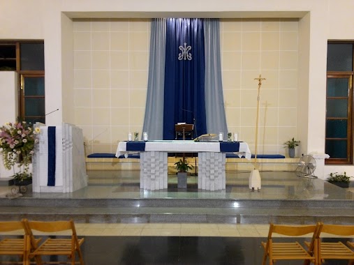
Church nearby Kappella ta' Santa Marija tax-Xaghra
Malta
Church nearby Kappella ta' Santa Marija tax-Xaghra
Kappella ta' Santa Marija tax-Xaghra
Naxxar Malta
contacts phone
:
+356
Latitude:
35.9188024
, Longitude:
14.4385615
read more
nearest Church
181 m
Santwarju Gesu Hniena Divina
Naxxar
Church
read more
369 m
Kappella San Pawl Tat-Targa
Triq Il-Kappella Ta Xaghra, Naxxar
Church
read more
369 m
Kappella ta San Pawl
Triq Il-Kappella Ta Xaghra, Naxxar
Church
read more
510 m
Kappella San Gakbu
Markiz Scicluna, In-Naxxar
Church
read more
522 m
Kappella San Gwann Battista
S.Gwann, In-Naxxar
Church
read more
711 m
Naxxar Parish Church
Naxxar
Church
read more
783 m
St. Margaret of Antioch
Mosta
Church
read more
849 m
Il-kappella Ta' Santa Katerina
Naxxar
Church
read more
891 m
Centru Pastorali Sghajtar
Triq il-Langas, Naxxar
Church
read more
894 m
Il-Kappella ta’ San Pawl Eremita
Mosta
Church
read more
894 m
Church Of St. Paul The Hermit
Mosta
Church
read more
1.202 km
Chapel of the Blessed Gerard
Triq Il-Kbira, Mosta
Church
read more
1.355 km
Kappella San Nikola
San Nikola, Ħal Għargħur
Church
read more
1.406 km
Oratorju Qalb ta' Gesu
Il-Mosta
Church
read more
1.454 km
Gharghur church
137 Il- 31 Ta Marzu, Ħal Għargħur
Church
read more
1.505 km
Rotunda
Rotunda Square, Mosta, Malta, Il-Mosta
Church
read more
1.57 km
Knisja Evangelika Battista (Baptist Church)
227, Triq Il-Kungress Ewkaristiku, Il-Mosta
Church
read more
1.575 km
Evangelical Baptist Church
Mosta
Church
read more
1.692 km
St. Michael's Chapel
Iklin
Church
read more
1.714 km
Santa Marija Taż-Żellieqa Chapel
Triq Il- Madliena, Ħal Għargħur
Church
read more
1.879 km
Ta' Mlit Pastoral Centre
84, Triq L-Alwetta, Il-Mosta
Church
read more
1.883 km
Kingdom Hall of Jehovah’s Witnesses
Mosta
Church
read more
1.891 km
Ta' Mlit Church
Triq iċ-Ċinju, Il-Mosta
Church
read more
1.961 km
San Pietru
Lija
Church
read more
2.01 km
Kappella San Silvestru
252 Vjal L-Indipendenza, Il-Mosta
Church
read more
📑
all categories
Accounting
Airport
Amusement park
Aquarium
Art gallery
Atm
Bakery
Bank
Bar
Beauty salon
Bicycle store
Book store
Bowling alley
Bus station
Cafe
Campground
Car dealer
Car rental
Car repair
Car wash
Casino
Cemetery
Church
City hall
Clothing store
Colloquial area
Convenience store
Country
Courthouse
Dentist
Department store
Doctor
Electrician
Electronics store
Embassy
Establishment
Finance
Fire station
Florist
Food
Funeral home
Furniture store
Gas station
General contractor
Grocery or supermarket
Gym
Hair care
Hardware store
Health
Home goods store
Hospital
Insurance agency
Jewelry store
Laundry
Lawyer
Library
Liquor store
Local government office
Locality
Locksmith
Lodging
Meal delivery
Meal takeaway
Mosque
Movie rental
Movie theater
Moving company
Museum
Natural feature
Neighborhood
Night club
Painter
Park
Parking
Pet store
Pharmacy
Physiotherapist
Place of worship
Plumber
Point of interest
Police
Post office
Premise
Real estate agency
Restaurant
Route
Rv park, camping
School
Shoe store
Shopping mall
Spa
Stadium
Storage
Store
Subpremise
Supermarket
Synagogue
Taxi stand
Transit station
Travel agency
University
Veterinary care
Zoo
sublocality level 1
↑