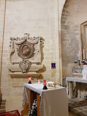
Church nearby Knisja San Ġakbu
Malta
Church nearby Knisja San Ġakbu
Knisja San Ġakbu
Xgħajra Malta
contacts phone
:
+356
Latitude:
35.8861344
, Longitude:
14.5463081
read more
nearest Church
73 m
Xghajra Church
Triq Sant' Elija, Ix-Xgħajra
Church
read more
801 m
Knisja Tas-Salib Imqaddes, Centru Sant'Andrija
Triq Alessio Erardi, Ħaż-Żabbar
Church
read more
881 m
Knisja San Andrija
Triq Alessio Erardi, Ħaż-Żabbar
Church
read more
883 m
Knisja Santa Domenika
Triq Alessio Erardi, Ħaż-Żabbar
Church
read more
1.004 km
Knisja ta' San Leonardo
Triq San Leonardu, Ix-Xgħajra
Church
read more
1.174 km
Maria Bambina Small Church
Ħaż-Żabbar
Church
read more
1.175 km
Knisja Santa Barbara (tal-Kapuċċini)
Triq Santa Liberata, Il-Kalkara
Church
read more
1.516 km
Old Chapel
Ħaż-Żabbar
Church
read more
1.522 km
Kappella Santa Marija tal-Indirizz
Triq Santa Marija, Ħaż-Żabbar
Church
read more
1.584 km
St Joseph Church
Kalkara
Church
read more
1.653 km
Zabbar Parish Church
Is - Santwarju, Ħaż-Żabbar
Church
read more
1.972 km
Salvatur Church
Kalkara
Church
read more
1.978 km
Kappella San Niklaw
Marsaskala
Church
read more
2.074 km
San Guzepp
Sorijiet Dumnikani, Triq il-Mina ta' Hompesh, Ħaż-Żabbar
Church
read more
2.074 km
Madonna Tad-Dawl Chapel
Marsaskala
Church
read more
2.185 km
Church of St Anne
Santa Skolastika, Birgu
Church
read more
2.438 km
Centru Nazaret
Ħaż-Żabbar
Church
read more
2.443 km
Misrah il-Qalbiena Maltin
Misrah il-Qalbiena Maltin,, Ħaż-Żabbar
Church
read more
2.509 km
St. Paul's Church
Saint Paul Street, Cospicua
Church
read more
2.541 km
Senglea Basilica
L-Isla
Church
read more
2.709 km
Fgura Parish Church
Fgura
Church
read more
2.869 km
Kappella tal-Konsolazzjoni
Triq Iz-Zonqor, Wied il-Għajn
Church
read more
3.182 km
Ta' Giezu Church
San Gwann, Il-Belt Valletta
Church
read more
3.289 km
Centru Pastorali Dar San Martin
Triq l, Isqof F.Mattei, Żejtun
Church
read more
3.696 km
Tarxien Parish Church
Paola Parish Church, Triq Lampuka, Tarxien
Church
read more
📑
all categories
Accounting
Airport
Amusement park
Aquarium
Art gallery
Atm
Bakery
Bank
Bar
Beauty salon
Bicycle store
Book store
Bowling alley
Bus station
Cafe
Campground
Car dealer
Car rental
Car repair
Car wash
Casino
Cemetery
Church
City hall
Clothing store
Colloquial area
Convenience store
Country
Courthouse
Dentist
Department store
Doctor
Electrician
Electronics store
Embassy
Establishment
Finance
Fire station
Florist
Food
Funeral home
Furniture store
Gas station
General contractor
Grocery or supermarket
Gym
Hair care
Hardware store
Health
Home goods store
Hospital
Insurance agency
Jewelry store
Laundry
Lawyer
Library
Liquor store
Local government office
Locality
Locksmith
Lodging
Meal delivery
Meal takeaway
Mosque
Movie rental
Movie theater
Moving company
Museum
Natural feature
Neighborhood
Night club
Painter
Park
Parking
Pet store
Pharmacy
Physiotherapist
Place of worship
Plumber
Point of interest
Police
Post office
Premise
Real estate agency
Restaurant
Route
Rv park, camping
School
Shoe store
Shopping mall
Spa
Stadium
Storage
Store
Subpremise
Supermarket
Synagogue
Taxi stand
Transit station
Travel agency
University
Veterinary care
Zoo
sublocality level 1
↑