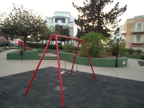
Park nearby Life Science Park
Malta
Park nearby Life Science Park
Life Science Park
Triq San Giljan, San Ġwann, MT Malta
contacts phone
:
+356
Latitude:
35.9031727
, Longitude:
14.4733764
larger map & directions
read more
nearest Park
920 m
Misrah Il-Ward
Oronfol, San Ġwann
Park
read more
921 m
Quadrangle
Msida
Park
read more
1.059 km
Wied Għollieqa Nature Reserve
University Ring Road, San Gwann
Park
read more
1.065 km
Masġar taż-Żebbuġ
Triq Il-Venew, San Ġwann
Park
read more
1.218 km
Train Station's Park
Birkirkara
Park
read more
1.444 km
Playing Field
Birkirkara
Park
read more
1.473 km
Romeo Romano Garden
Braille, Santa Venera
Park
read more
1.502 km
San Gwann Dog Park
Swieqi
Park
read more
1.658 km
Victoria Gardens Park
36, 26 Triq Il-Barmil, Swieqi
Park
read more
1.659 km
Gnien L-Ahwa Kanonci
Birkirkara
Park
read more
1.762 km
Public Garden
Ta' Giorni, Saint Julian's
Park
read more
1.991 km
Gnien Il - Kunsill Ta L- Ewropa
Il-Gżira
Park
read more
1.996 km
Swieqi Public Garden and Civic Centre
G.Bessiera, Is-Swieqi
Park
read more
2.027 km
Ġnien F.X.Ebejer
Swieqi
Park
read more
2.159 km
Duck Village
Triq Il-Forti Manoel, Il-Gżira
Park
read more
2.22 km
Balluta square
Unnamed Road, Saint Julian's
Park
read more
2.422 km
San Anton Gardens
Malta
Park
read more
2.543 km
Spinola Garden
5 Triq Paceville, San Ġiljan
Park
read more
2.595 km
Sa Maison Garden
Il-Furjana
Park
read more
2.705 km
Gnien Madre Teresa ta' Kalkutta
Pembroke
Park
read more
2.755 km
Gnien l-Istazzjon, Attard
83 Saint Anthony Street, Attard
Park
read more
2.789 km
Children's Playground
Sliema
Park
read more
2.917 km
Gnien Toni Bella
Naxxar
Park
read more
2.978 km
St. Anne Square
Tower Road, Sliema
Park
read more
3.196 km
Pembroke Gardens
Triq G. Portanier, Pembroke
Park
read more
📑
all categories
Accounting
Airport
Amusement park
Aquarium
Art gallery
Atm
Bakery
Bank
Bar
Beauty salon
Bicycle store
Book store
Bowling alley
Bus station
Cafe
Campground
Car dealer
Car rental
Car repair
Car wash
Casino
Cemetery
Church
City hall
Clothing store
Colloquial area
Convenience store
Country
Courthouse
Dentist
Department store
Doctor
Electrician
Electronics store
Embassy
Establishment
Finance
Fire station
Florist
Food
Funeral home
Furniture store
Gas station
General contractor
Grocery or supermarket
Gym
Hair care
Hardware store
Health
Home goods store
Hospital
Insurance agency
Jewelry store
Laundry
Lawyer
Library
Liquor store
Local government office
Locality
Locksmith
Lodging
Meal delivery
Meal takeaway
Mosque
Movie rental
Movie theater
Moving company
Museum
Natural feature
Neighborhood
Night club
Painter
Park
Parking
Pet store
Pharmacy
Physiotherapist
Place of worship
Plumber
Point of interest
Police
Post office
Premise
Real estate agency
Restaurant
Route
Rv park, camping
School
Shoe store
Shopping mall
Spa
Stadium
Storage
Store
Subpremise
Supermarket
Synagogue
Taxi stand
Transit station
Travel agency
University
Veterinary care
Zoo
sublocality level 1
↑