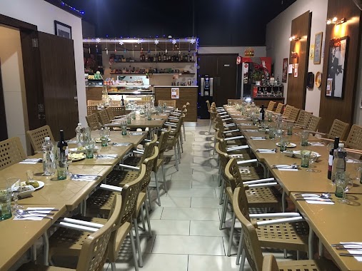
Bar nearby Gove Bar
Malta
Bar nearby Gove Bar
Gove Bar
Triq Il - Wied, Birkirkara, MT Malta
contacts phone
:
+356 2149 1911
Latitude:
35.8961364
, Longitude:
14.4637432
larger map & directions
read more
nearest Bar
214 m
Hefu Bar
Birkirkara
Bar
read more
392 m
St. Anthony Band Club
Triq L-Imsida, Birkirkara
Bar
read more
578 m
Football Factory
Triq B. Bontadini, Birkirkara
Bar
read more
613 m
Rush Hour Snack Bar
Birkirkara
Bar
read more
648 m
Four Seasons Wine Bar
Triq il-Papa Urbanu VIII, Ħal Balzan
Bar
read more
778 m
Mercury Snack Bar (Mriehel)
Triq L-Imprendituri, Birkirkara
Bar
read more
781 m
Old Smuggler's Bar & Restaurant
Balzan
Bar
read more
816 m
L Akwadott Snack Bar
Triq San Gwakkin, Birkirkara
Bar
read more
1.066 km
Balzan Football Club
Triq It- Tliet Knejjes, Ħal Balzan
Bar
read more
1.148 km
Charles Bar
Triq Mro. Guiseppe Camilleri, Birkirkara
Bar
read more
1.149 km
Zmerc Pub
131 Birbal Street, Ħal Balzan
Bar
read more
1.155 km
Charles Bar
Triq MRO Giuseppe Camilleri, Birkirkara
Bar
Point of interest
Establishment
read more
1.64 km
Ta' Cardona Wine Bar
13,Triq il-Kbira, Qormi
Bar
read more
1.677 km
Da Roberto Il gusto dell'isola
R.Caruana Dingli, San Ġwann
Bar
read more
1.733 km
Tal-Villagg cafe & wine lounge
77. Triq il-Forn, Ħal Lija
Bar
read more
1.74 km
Grasshopper
Triq Preziosi, Ħal Lija
Bar
read more
1.76 km
Down Town Bar
San Gwann
Bar
read more
1.778 km
Għaqda Mużikali San Ġorġ Marti AD.1893
Triq Il-Kbira, Ħal Qormi
Bar
read more
1.844 km
Tal-Mekek
Ta' L-Ibraġġ, Ħal Għargħur
Bar
read more
1.914 km
Kickstart Rock Club
Triq Is - Soll, L-Imsida
Bar
read more
1.98 km
Barun Snack Bar
Hamrun
Bar
read more
1.985 km
Union Snack Bar
Malta
Bar
read more
1.994 km
Caccu Social Club
310 Triq Il-Kbira, Ħal Qormi
Bar
read more
2.201 km
Rubies Bar
Triq San Andrija, San Gwann
Bar
read more
2.274 km
Florence Bar
92 Triq San Bastjan, Ħal Qormi
Bar
read more
📑
all categories
Accounting
Airport
Amusement park
Aquarium
Art gallery
Atm
Bakery
Bank
Bar
Beauty salon
Bicycle store
Book store
Bowling alley
Bus station
Cafe
Campground
Car dealer
Car rental
Car repair
Car wash
Casino
Cemetery
Church
City hall
Clothing store
Colloquial area
Convenience store
Country
Courthouse
Dentist
Department store
Doctor
Electrician
Electronics store
Embassy
Establishment
Finance
Fire station
Florist
Food
Funeral home
Furniture store
Gas station
General contractor
Grocery or supermarket
Gym
Hair care
Hardware store
Health
Home goods store
Hospital
Insurance agency
Jewelry store
Laundry
Lawyer
Library
Liquor store
Local government office
Locality
Locksmith
Lodging
Meal delivery
Meal takeaway
Mosque
Movie rental
Movie theater
Moving company
Museum
Natural feature
Neighborhood
Night club
Painter
Park
Parking
Pet store
Pharmacy
Physiotherapist
Place of worship
Plumber
Point of interest
Police
Post office
Premise
Real estate agency
Restaurant
Route
Rv park, camping
School
Shoe store
Shopping mall
Spa
Stadium
Storage
Store
Subpremise
Supermarket
Synagogue
Taxi stand
Transit station
Travel agency
University
Veterinary care
Zoo
sublocality level 1
↑